
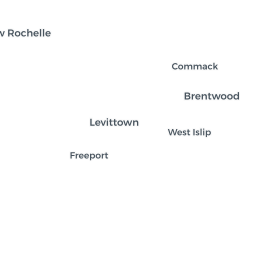
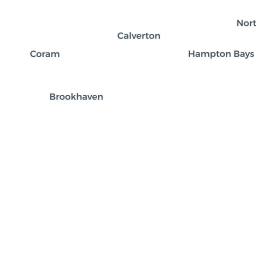
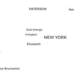
How sea level rise could affect the New York area
The federal government in January released estimates of how rising sea levels could affect coastal areas in the United States. Based on water-level and ground-elevation data, the map shows what areas could become inundated with a sea level rise of one foot to six feet. The green areas could become low lying and susceptible to flooding if the sea level rose, although the government would need a more detailed analysis to determine if they actually would.
The National Oceanic and Atmospheric Administration, which produced the data behind the map, cautions that the flooded areas shown “are not as precise as they may appear.” Erosion, construction or natural evolution of the coast could alter the forecast. There is also no agreement about how fast the sea level is rising. You can type an address into the search box (magnifying glass), or zoom in to any area, and then select an amount of sea level rise. This map was posted on Aug. 18, 2017.
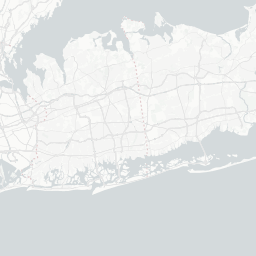
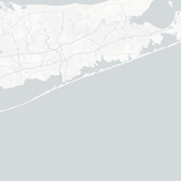
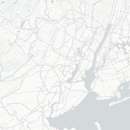


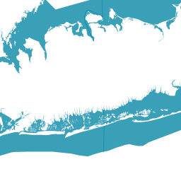

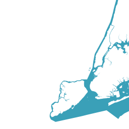

- Sea level
- Low lying areas
To see other parts of the country, or to learn more about the local data, visit the NOAA map.